Finding Provo Street Directory Records
A street-by-street search works best as a chain. Begin with the exact address, save the parcel serial, and keep the property location separate from the owner mailing address. Then use the serial in the county map and recorder tools. A voter search can add registration evidence, while a directory can show a past household or a business address. Each step answers a narrower question than “who lives here,” so record the source label and the date.
- Enter number, direction, street, street type, and city or location in the Utah County address route.
- Open the matching serial and save the parcel, legal description, subdivision, lot, and block fields.
- Inspect the same street in the county GIS viewer, including parcel and city-limit layers.
- Pivot from the serial to recorder entries, parties, legal descriptions, and images.
- Compare public voter fields or an older street-order directory only when the date and purpose fit.
The Provo street directory is a research path, not a list of every household. A strong result has two independent anchors, such as a name and parcel, a year and address, or an occupation and newspaper date.
Provo Street Directory Assessor Fields
The Utah County assessor guide describes a structured search. Enter the number, direction, street, and optional city. A green year with an ellipsis indicates valid information; clicking the serial number opens more property detail. The assessor’s real-property page routes to owner, address, and serial searches, so save the serial before moving to another tool.
| Field | Type | What to keep |
|---|---|---|
| Number | Address part | Exact street number, including unit clues only when public |
| Direction | Choice or text | North, South, East, or West and its abbreviation |
| Street | Text | Current spelling plus any historic form |
| Street Type | Choice or text | Street, avenue, road, and similar suffix |
| City/Location | Text or choice | Provo label, county location, or other municipality shown |
| Serial | Linked identifier | Nine-digit or alternate serial format for later pivots |
Market value is an assessment figure, not a sale price. The assessor does not decide title, collect tax, or prove who occupies a structure. Keep property or situs location, owner name as displayed, owner mailing address if shown, tax year, legal description, subdivision, and linked deed as separate fields.
Provo Street Directory GIS Layers
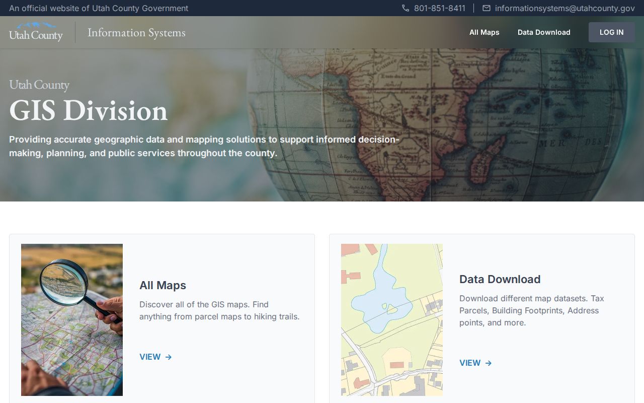
The Utah County Parcel Map turns a street search into a spatial check. It supports parcel, owner, and serial searches, historic parcel controls, city zoom, PLSS, basemaps, measurements, deed points, layers, and exports. A polygon can show which lots touch or sit near the target, but it does not by itself establish ownership. Confirm each serial in the assessor or recorder result.
Use the layer controls to compare parcel boundaries, streets, city limits, subdivisions, zoning, water, and other map information. Historic parcels deserve a date note. County GIS says the historic date reflects entry in the online system, not necessarily a deed’s recording date. That matters when a subdivision, split, or boundary change appears to move a line across the years.
The county parcel viewer displays the map and layer workflow used to inspect addresses along a Provo street.
Note: A historic parcel date helps order map events, but it should be compared with the recorder entry year and plat chronology.
Provo Street Records by Address
Address-keyed records in Provo are spread across county and city custodians. The coverage table shows what each system can contribute to a street directory search and what it cannot prove.
| Record Set | Keeper | Street-Level Evidence | Access |
|---|---|---|---|
| Property information | Utah County Assessor | Parcel, owner display, tax year, value labels | Online route |
| Parcel map | County GIS | Lot shape, adjacent polygons, layers, historic map date | Free viewer |
| Deeds and liens | County Recorder | Parties, instrument type, legal description, image | Index and office |
| Building permits | Provo Building | Permit type, contractor, date, address or parcel, status | Map; historic report by GRAMA |
| Voter status | Utah Elections | Public registration fields, precinct, districts when returned | Individual search |
The parcel serial is the best bridge across county tools. The street name links the address record to the map, while the legal description can survive a changed street label. A permit applicant or contractor is not automatically an owner or resident. A voter entry reflects registration, not a complete list of people at a place.
Provo Street Directory Address Change
Literal address searches can fail in older Provo records. The city timeline says that in 1902, lettered north and south streets and numbered east and west streets changed to the current system. Old J Street became Academy Avenue, now University Avenue. The first postal delivery is dated February 1, 1902. The 1904–05 directory’s street guide places Center Street and Academy Avenue at the initial point for the new numbering.
Test an old name as a working hypothesis, not a final conversion. Compare the directory street guide, historic maps, a recorder legal description, and current parcel geometry. A modern address form may reject a valid old form, while a deed may omit a street address and identify land through abstract, plat, or legal description instead. This is one of the main reasons a Provo street directory search needs more than a single field.
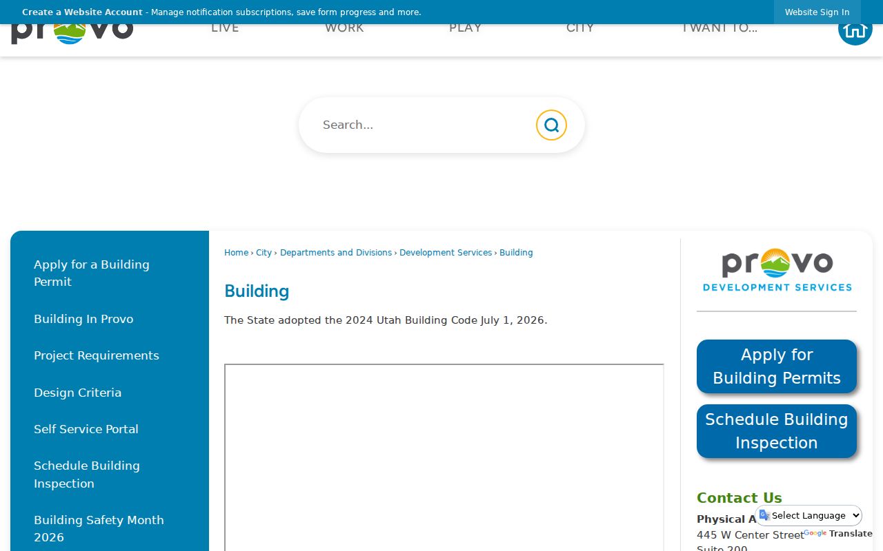
The Provo Building page supplies a permit-map address check when an older street label needs a modern parcel.
Provo Street Directory Deed Chain
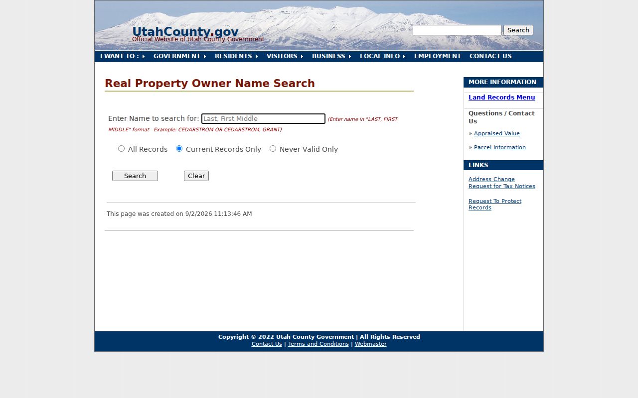
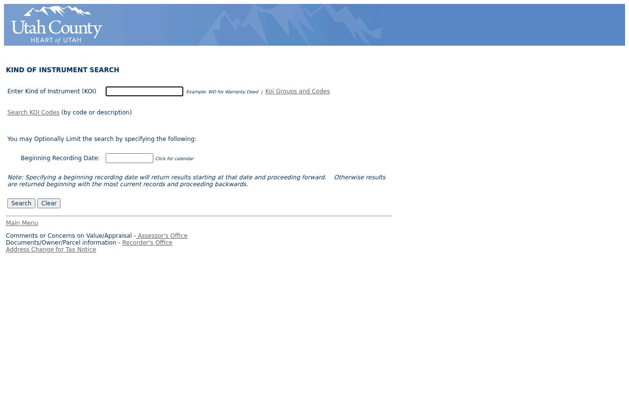
The recorder’s land-record hub offers name, address, serial, recordings, document entry, kind-of-instrument, description and location, cross-reference, plat, and image routes. Name search accepts LAST, FIRST MIDDLE and has All Records, Current Records Only, and Never Valid Only options. Serial searches accept examples such as nine digits, colon-separated values, spaces, and other published formats. Try the variants shown by the portal.
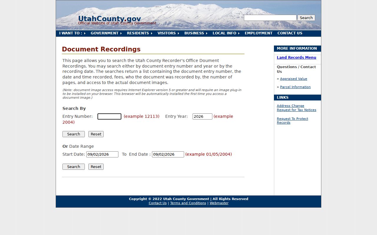
Recordings accepts entry number and year or a start and end date. Document Entry uses entry and year or book and page. A result may show entry number, recording time, fees, recorded-by field, pages, image, principal parties, document type, legal description, parcel, and property location. A grantor transfers or encumbers an interest, while a grantee receives an interest. A plat maps land divisions. None of those labels alone identifies the person who lived in a building.
The Utah County recordings search shows the entry, year, date-range, and document-image routes for a street record.
Provo Permit History by Street
Provo Building maintains a public map of current and past permits. The page describes searches by permit type, contractor, and date, with address or parcel and monthly reports. A permit record can help place construction, an applicant, or a contractor in a house-history timeline. It is not a resident roster and does not turn an application into proof of ownership.
Historic reports are available through a GRAMA request. Ask for an existing report or known record category with an address, parcel, permit type, and date range. Provo says the permit map is updated weekly, and its page identifies the 2024 Utah Building Code as effective July 1, 2026. Date a saved result because map fields and code pages can change.
The Provo Building page describes the permit map and the GRAMA route for historic reports.
Provo Historical Street Directory Clues
Provo Library’s directory holdings can be used from the street side when an alphabetic name search fails. The collection includes the 1884 Utah Gazetteer and Directory and Polk’s runs from 1917–18 through 2004-present, with listed gaps. Later volumes may include a street-order or criss-cross section. The research did not locate a complete dedicated reverse-directory title, so treat address-first scanning as a method, not a guaranteed index.
The 1904–05 volume preserves the difference between residence and business. Entries can show occupation, employer, residence, business address, phone or reference, and a cross-reference such as “see” another spelling. Keep abbreviations such as bds and res as printed until another source supports an expansion. The historical shelf is developed in the Provo directory book page, while the street directory uses it only as an address clue.
What a Provo Street Directory Omits
Public address records do not show every person at a place. A parcel usually centers on land and tax evidence. A deed centers on an instrument party. A voter search centers on registration. A directory can be stale or omit a household. Utility customer records are not a public street list, and motor-vehicle address data is restricted under federal privacy rules. Protected voters and Safe at Home participants must not be reverse-engineered.
Lawful use. Use Provo street and address records for family history, house history, civic research, reconnecting, and scam awareness. Never use them to stalk, harass, intimidate, or harm anyone.
Note: Keep a property location, owner mailing address, registration address, and historical residence in separate columns whenever a source supplies more than one.
Provo Street Directory Terms
Four terms prevent a street directory result from saying more than the source can support.
- Parcel
- A mapped tract with a county serial and legal description.
- Situs address
- The physical property location, distinct from a mailing address.
- Plat
- A map or recorded plan showing land divisions and lots.
- Criss-cross directory
- An address-first section that helps connect a street location to a name in historical volumes.
- Instrument
- A recorded document, such as a deed, lien, release, or plat reference.
When the address and map disagree, preserve both values and note the source date. Provo’s grid is strong in the older center, but foothill growth, curved streets, cul-de-sacs, annexations, and later subdivisions need a parcel check. The street directory becomes more reliable when the map and document layers agree.
Owner Name Cross-Check
The Utah County owner-name search shows the LAST, FIRST MIDDLE format and record-status controls. Use it to cross-check the serial found through an address, then return to the instrument and parcel record.
The owner-name form is the second route when an address search needs confirmation.