
Provo Neighbors Block Coverage
Define the block before choosing a source. A parcel map answers which lots touch or sit near a target. A voter precinct answers which election area applies. A neighborhood district describes a civic organization area. A directory or newspaper can show historical names on a street segment. These are distinct layers, so save the layer name and date with the result.
| Source | What It Shows About a Block | Access |
|---|---|---|
| Utah County Parcel Map | Adjacent polygons, roads, parcel serials, layers | Free public viewer |
| Assessor and Recorder | Owner display, land records, parties, legal descriptions | County online tools |
| Neighborhood District Program | North, East, West, Northwest, and Central civic areas | Provo public pages |
| Voter status and precinct | Registration fields and election geography when public | Controlled search |
| Building and city documents | Permits, reports, meetings, development records | Map or GRAMA route |
The word neighbors describes a geographic relation. It is not a public personal attribute. A block lookup should identify parcels, offices, civic areas, and record types without publishing a list of nearby people.
Map Provo Neighbors by Parcel
Open the target address in the county viewer and inspect the polygons that touch or sit around it. Record parcel serials and road labels, then run each serial through the Assessor and Recorder. Do not infer an occupant from a polygon or from proximity to the target. A serial is a county cross-reference, while a legal description is the formal land key.
- Search the target address, owner, or serial in the Parcel Map.
- Turn on parcel, street, city-limit, subdivision, and other relevant layers.
- Record adjacent serials without copying unnecessary personal details.
- Check each serial in the assessor and recorder routes for the land relationship.
- Compare the map with precinct, ZIP, and Neighborhood District labels separately.
GIS offers historic parcels, city and PLSS views, basemaps, measurements, deed points, exports, and a historic-date control. The historic date reflects entry in the county’s online system, not necessarily the recording date. A map comparison is strongest when the recorder entry and plat support it.
Provo Neighbors Civic Districts
Provo’s Neighborhood District Program names five civic districts: North, East, West, Northwest, and Central. Named areas include North Timpview, Rock Canyon, Provost, Spring Creek, Lakeview, Provo Bay, Grandview, Carterville, University, Downtown, Joaquin, Maeser, and East Bay. The official pages discuss meetings, boards, grants, development notices, and traffic studies. They do not provide a complete member or resident directory.
Every resident is invited to meetings, and district boards are volunteer organizations. The Central District page describes a $7,500 annual grant matched by service hours and civic work. The Northwest page emphasizes traffic studies and board work. The MyHometown initiative focuses on Dixon, Pioneer Park, Provost, and South Freedom through city, resident, church, and business partnerships. These are civic-contact clues, not identity evidence.
Provo Neighbors Election Maps
Precinct and district information can show which election geography surrounds a Provo address. Council boundaries follow precincts and are redrawn every 10 years. That layer differs from the Neighborhood District Program and from the postal ZIP. Public voter data can include registration address, precinct, districts, party or status, and vote history subject to current privacy rules. It does not provide a complete list of people at a block.
SB153 changes took effect May 25, 2026. Full DOB, license or state-ID numbers, SSN, email, phone, and qualifying protected-voter records remain protected. Do not reconstruct an at-risk address from a parcel, precinct, directory, or public document. Save the election source and date if a district comparison matters.
Provo Neighbors Public Documents
Provo Building’s permit map is searchable by permit type, contractor, and date, with address or parcel and monthly reports. It is updated weekly. A permit can add a construction or repair event to a block history, but an applicant or contractor is not automatically an owner or neighbor. Historic reports require a GRAMA request for an existing record.
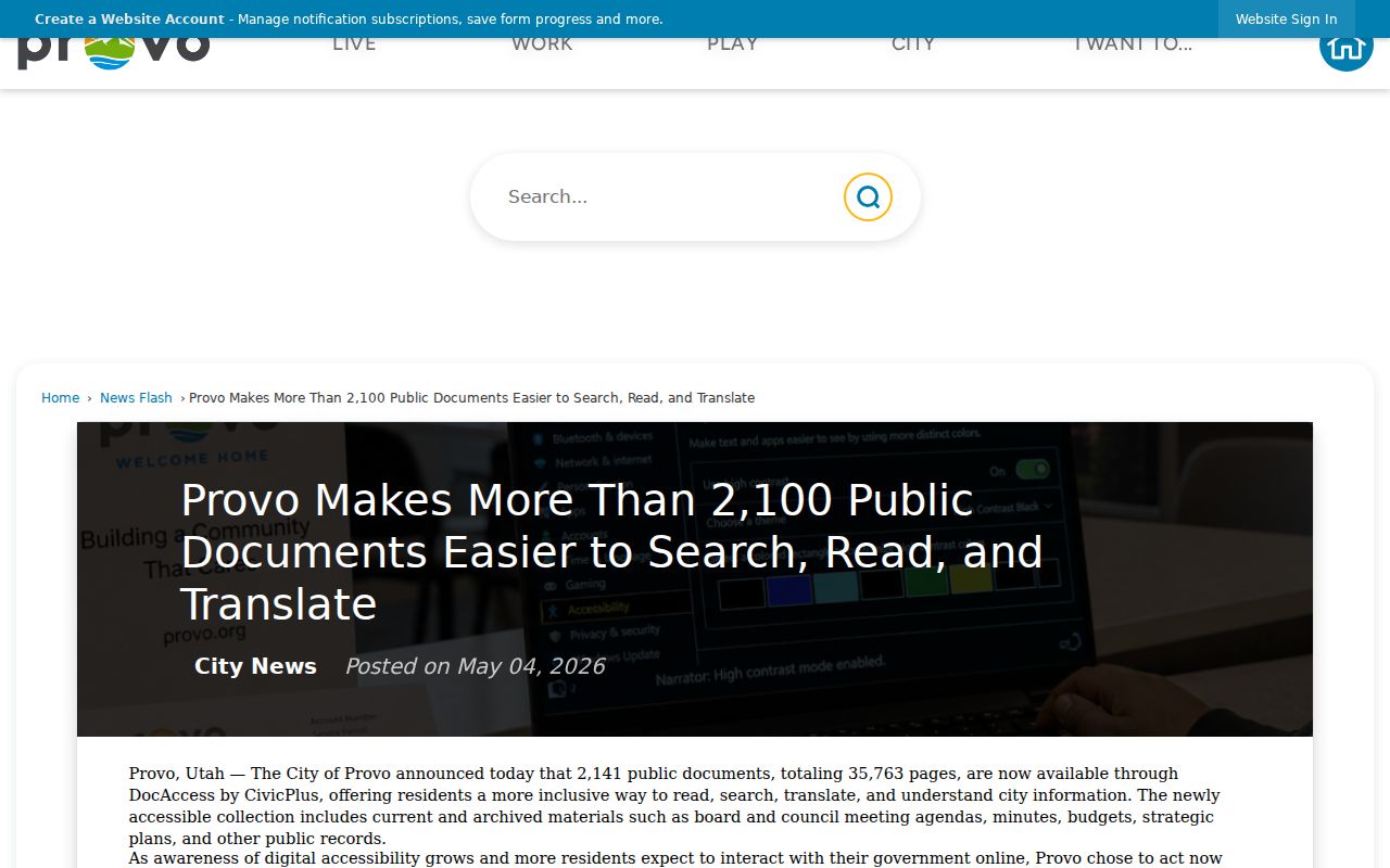
Provo announced on May 4, 2026 that more than 2,100 public documents were easier to search, read, and translate, including agendas, minutes, budgets, strategic plans, and public records. The city said the documents are not used to train AI models and that usage is aggregated and deidentified. Verify the current portal, OCR coverage, downloads, and redactions before relying on a result.
The Provo public-document announcement describes the civic records search initiative that may help with block-level history.
Provo Neighbors Community Routes
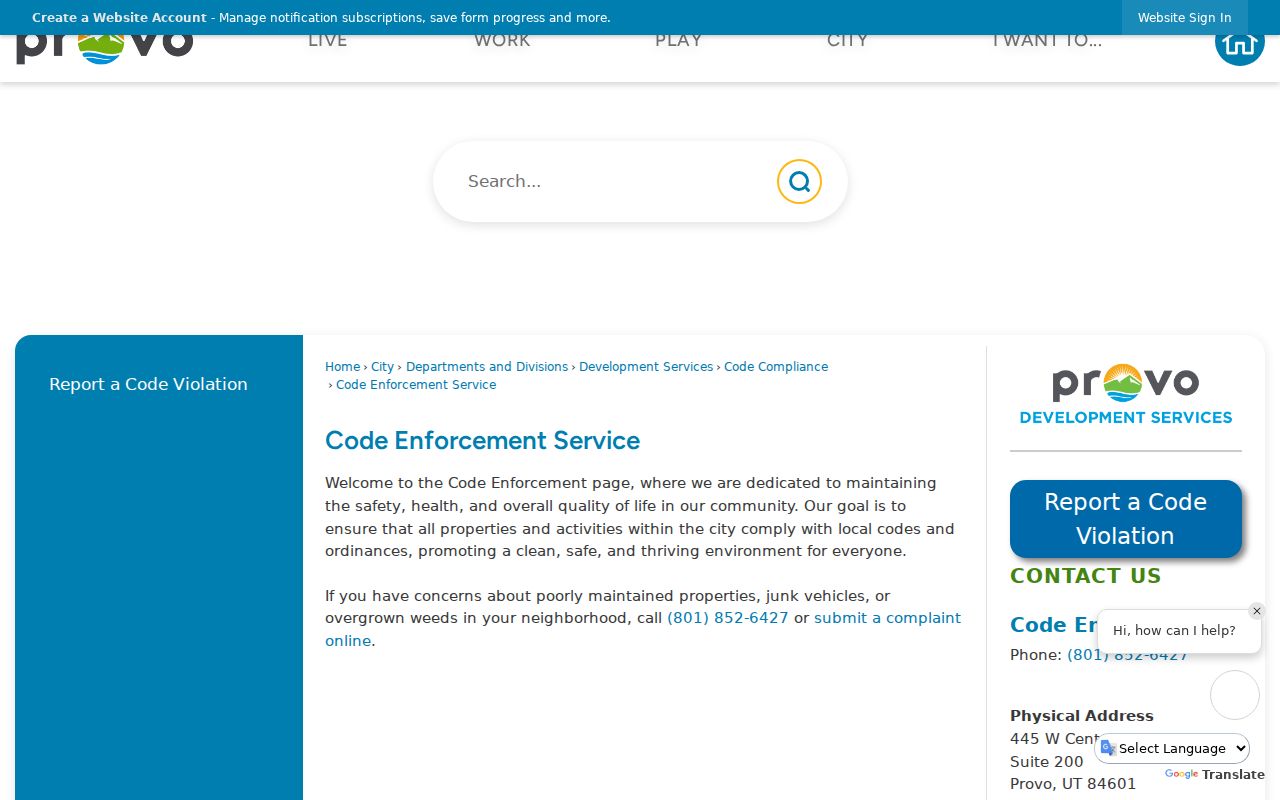
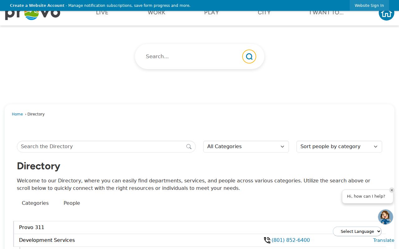
Citywide 311 is available inside Provo, and outside callers use 801-852-6000. Code Enforcement accepts a complaint online or by phone at 801-852-6427, 445 W Center Suite 200, generally Monday through Thursday, 7 to 6. The research did not locate a public searchable name or address code-case index. The city staff directory routes residents to Planning, Building, Public Works, Police, the Recorder, and other offices.
Provo Cemetery and library local-history resources can add a historical neighborhood clue. Newspapers may show a block event, while directories can show names by year and street. The local research did not locate a complete HOA or association membership list. Use civic pages for meeting and service information, not as a source for exposing private people nearby.
The Provo Code Enforcement service page gives the complaint route used when a block question concerns a city service.
The Provo municipal directory is the office-contact source for city departments involved in neighborhood questions.
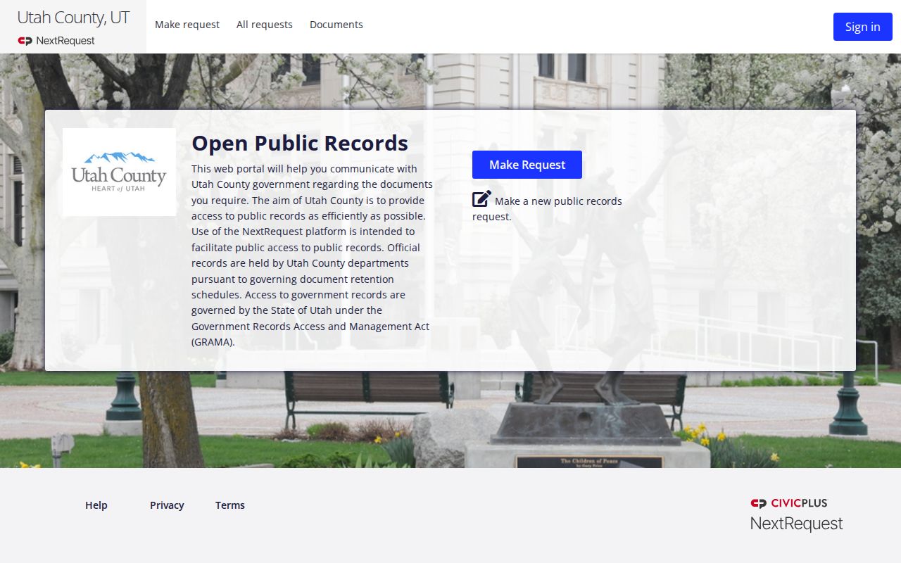
The Utah County GRAMA route is the fallback for a specific existing county record not exposed in the parcel viewer.
Official Provo Neighbors Sources
Official sources have a named custodian, a record class, and a stated access path. Commercial neighbor tools may combine parcel, phone, address, and older data with unclear dates or provenance. A broad result can be a lead, but it should not override the county parcel, voter, court, library, or city record that supports a specific claim.
| Approach | Useful question | Limit |
|---|---|---|
| GIS and parcel records | Which lots touch the target? | Map proximity does not identify occupants |
| Assessor and recorder | Who is shown with the land or instrument? | Owner or party is not automatically a neighbor |
| Voter geography | Which precinct or district applies? | Not a complete block roster |
| Commercial category | Where might a lead exist? | Stale, costly, mixed-source, and privacy concerns |
For family history or civic work, keep the map, parcel, election, and record evidence in separate columns. That practice preserves the difference between geography and identity.
Privacy Limits on Provo Neighbors
Utah Safe at Home provides substitute addresses and mail forwarding for eligible survivors. Protected voter records must not be reverse-engineered. Do not publish full DOB, SSN, state-ID numbers, personal phone or email, sealed case details, or sensitive information about living people. A public record can still be inappropriate to copy or share in full.
Lawful use. Use a Provo neighbors lookup for civic participation, family history, house history, reconnecting, and personal safety. Never use it to stalk, harass, intimidate, or harm a person.
When an office is needed, ask for an existing record and name the address, parcel, document type, or date. Provo GRAMA is a specific-record route. The county, court, voter, vital, library, and archive custodians retain their own rules. A source log makes it easier to correct a bad block match.
Provo Neighbors Geography
A single point can be described by parcel, postal ZIP, Census ZCTA, incorporated city, county, precinct, council district, neighborhood district, and historic street system. Provo’s older grid centers on Center Street and former Academy Avenue, now University Avenue. Foothill growth, the river, lake edge, and later subdivisions make the map layer worth checking before calling someone a neighbor.
- Adjacent parcel
- A mapped lot that touches or lies next to the target polygon.
- Precinct
- An election geography used for voting administration.
- Neighborhood district
- A Provo civic organization area, not an electoral district.
- Postal ZIP
- A delivery geography that may not follow city limits.
- Parcel serial
- The county cross-reference used to pivot from map to land records.
That vocabulary keeps a block lookup precise. Start with geography, confirm the land record, and use a person record only when its access rule and date fit the question.